Moorhead and the state of Minnesota have invested $105 million since 2009 in protecting the city from Red River floods. They have succeeded … for now. But tomorrow could be a new day, depending on whether or not work continues on Fargo-Moorhead Area Diversion Project moves forward.
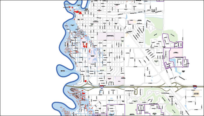
Today almost all of Moorhead is safely out of the floodplain, thanks to the 11-mile system of earthen levees that stretches along the east bank of the Red from the Moorhead Country Club area to 50th Avenue South. After 250 property buy-outs and construction of 12 new pump stations and 78 stormwater gates over the past seven years, the city is now protected to the current 100-year flood stage of 39.3 feet.
The most practical result of the massive engineering project, other than homeowners’ peace of mind, is being felt by 820 property owners protected by the system: Flood insurance, which can run from $4,000 to $6,000 per year for residences, is no longer mandatory. That also affects three of Moorhead’s biggest employers – Concordia College, Eventide and the Crystal Sugar refinery.
City Engineer Bob Zimmerman led the team that took those properties out of the official FEMA floodplain. Along with the enormous design and construction challenges of building the 8-year project, he and the entire city team had to document every aspect to the Federal Emergency Management Agency’s standards – submitting “letters of map revision” including some 300 pages of documentation for each of four targeted areas on the west side along the river.
But Moorhead’s flood-related future isn’t quite as carefree as the current status suggests.
Zimmerman explains, “The current floodplain map sets the 100-year flood level at 39.3 feet. Moorhead is now protected to about 44 feet, including three feet of freeboard required to meet FEMA standards.”
But after record floods in 1997 and 2009, as well as 2010 and 2011 events, that sense of security has become shaky. Both 1997 and 2009 exceeded the 100-year stage, with crests of 39.5 and 40.3 feet. The 100-year flood number is calculated based the historical record, beginning around 1902.
The current floodplain map was adjusted in 2001. But with the even greater floods of the past decade, the 100-year flood depth obviously needs to be updated … and in 2012, the Corps of Engineers performed those calculations. What their flood insurance study came up with was anew peak that’s almost 2 feet higher than the one now in effect: 41 feet.
And it’s not just the river itself that’s boosting the projections. Efforts to protect Moorhead and Fargo with levees actually raise the potential 100-year mark substantially higher. “More water has to squeeze between the levees instead of spreading out,” Zimmerman explains. The “squeezed” crest of the same flood is estimated to reach 42.5 feet. That means the true level of protection in practice would need to be 45.5 feet – well beyond the just-completed levee system.
Thus, if a new FEMA risk map is issued, 820 Moorhead homes plus key businesses would be back in the floodplain … and once again facing expensive mandatory flood insurance. The numbers are even more dramatic west of the river, where 11,000 Fargo properties would be affected by a redrawn map.
To mitigate the effects of a new floodplain map, says Zimmerman, the city would need to acquire more homes, build more infrastructure … and find new sources of funding far beyond the enormous investment that’s already been made.
The city engineer says FEMA has indicated it won’t take action on revising the floodplain map as long as Fargo-Moorhead is making strides toward long-term protection. “They’ve said they won’t issue a new map as long as efforts are underway to build the diversion,” he says.
“If the project were to stop today, though, we have every reasonable expectation that FEMA will come back, use the data we now have in hand, revise the 100-year flood level, and issue their new map.”
Negotiations are underway between the cities, the F-M Area Diversion Project and the state of Minnesota, whose Department of Natural Resources declined to give its approval of the regional flood-control project last month. If they’re successful, no further changes may be required in the metro area’s floodplain map. If not? That remains to be seen.
Regardless, Zimmerman says that the flood control system that Moorhead has built since the darkest moments of 2009 easily ranks as its greatest engineering achievement. “Of all the projects I’ve worked on in all my years with the city, this is definitely the top one,” he reflects. “It ended up far, far larger and more complicated than we envisioned in the beginning days.
“It’s very unusual for the state to invest this heavily in a local project,” he adds, citing Minnesota’s $73 million appropriation that augmented $32 million from the city. “There was a lot of interest at the state level. Clearly they responded to the needs they saw here.”